


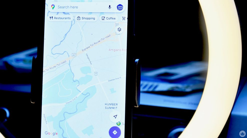
Vancouver-based North Shore Rescue (NSR) is warning hikers against using apps like Google Maps to navigate through the wilderness.
The message comes after the team recused a hiker on Saturday from Mount Fromme. In a Facebook post, the rescue team details the hiker attempted the climb from the Kennedy Falls area after following a trail on the application.
Just a month prior, NSR rescued another individual from the same area who had also been using Google Maps. NSR said the trail on the app “does not exist.”
“The area in question has no trails and is very steep with many cliff bands throughout,” the post reads. “NSR has actually placed signage in the area warning of this. The area is clearly dangerous, as it was the sight of a previous fatality.”
NSR said it deployed rope and helicopter rescue teams. Two rescuers had to be hoisted from the helicopter by 100 meters to where the team believed the individual was stranded. The technicians were eventually able to locate the subject.
NSR states programs like Google Maps are “not appropriate to navigate in the wilderness.” The group said it attempted to contact the company to remove the “non-existent trail” but has yet to hear back.
Source: North Shore Rescue/Facebook
 News
News  News
News  News
News  News
News 