A Toronto tech company has been awarded a contract by the federal government to create mapping data highlighting the need for high-speed internet across rural communities in the country.
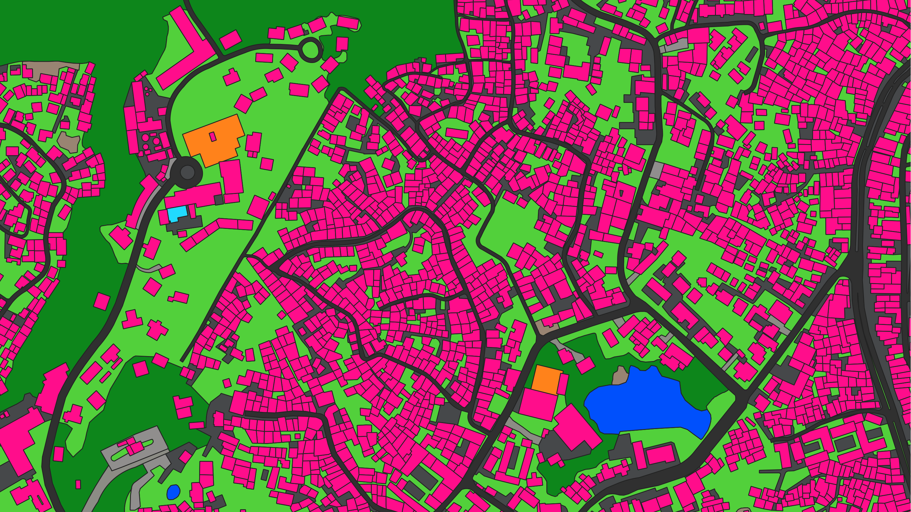
Ecopia AI converts images of the earth into vector maps complete with road names, house numbers, and other specific details. These maps help form decisions on numerous applications. The company has worked with commercial and government bodies in 100 countries across the world.
“Essentially, we are training a computer to interpret imagery and other datasets as a human would — in this case, to identify buildings that require broadband internet access,” Jon Lipinski, Ecopia’s co-founder and president told MobileSyrup.
Their role is especially important given more than half of rural communities in Canada don’t have access to broadband internet, according to the Canadian Radio-television and Telecommunications Commission (CRTC).
The government watchdog says people should have an internet connection with at least 50Mbps download speeds and 10Mbps upload speeds. Only 45.6 percent of rural communities have access to this. In comparison, 87.4 percent of other communities across the country have access.
A report by the Canadian Internet Registration Authority (CIRA) also showed internet speeds were improving at a much slower rate in rural communities compared to urban communities, further highlighting the need for such applications.
Ecopia will use its AI mapping system to identify locations across Canada that can be serviced by broadband, with a specific focus on remote and Indigenous communities.
The map will be used by government bodies to identify where gaps exist and how infrastructure can be deployed to those locations. All provinces and territories are included in the project, Lipinski said.
“It is our hope that the next-generation mapping data resulting from this project will be adopted by organizations across Canada to accelerate the deployment of broadband internet in rural areas and achieve connectivity goals across the country,” he told MobileSyrup.
The map will be ready in March of this year.
Image credit: Ecopia
MobileSyrup may earn a commission from purchases made via our links, which helps fund the journalism we provide free on our website. These links do not influence our editorial content. Support us here.
