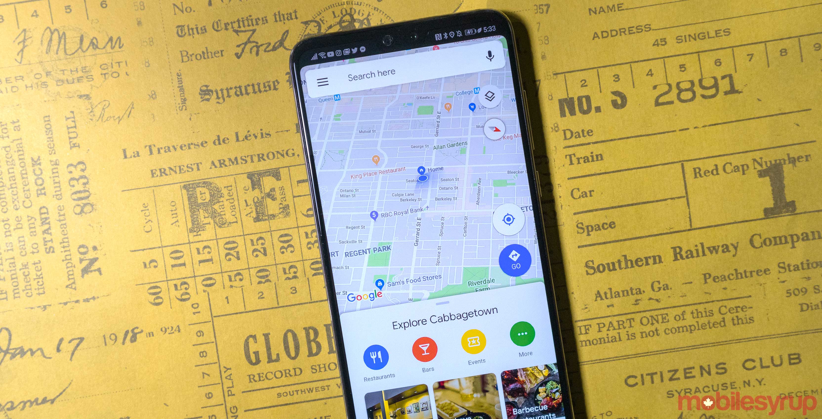
Google Maps is launching two new features that aim to help commuters plan their ride, according to a recent blog post from the company.
Firstly, the navigation app now has live traffic delay updates for buses in locations that Google doesn’t have direct real-time information from the transit agencies.
The app will tell you how long the delay will be and exactly where the delays are happening on the map. This feature is meant to help commuters know what to expect before they get on the bus.
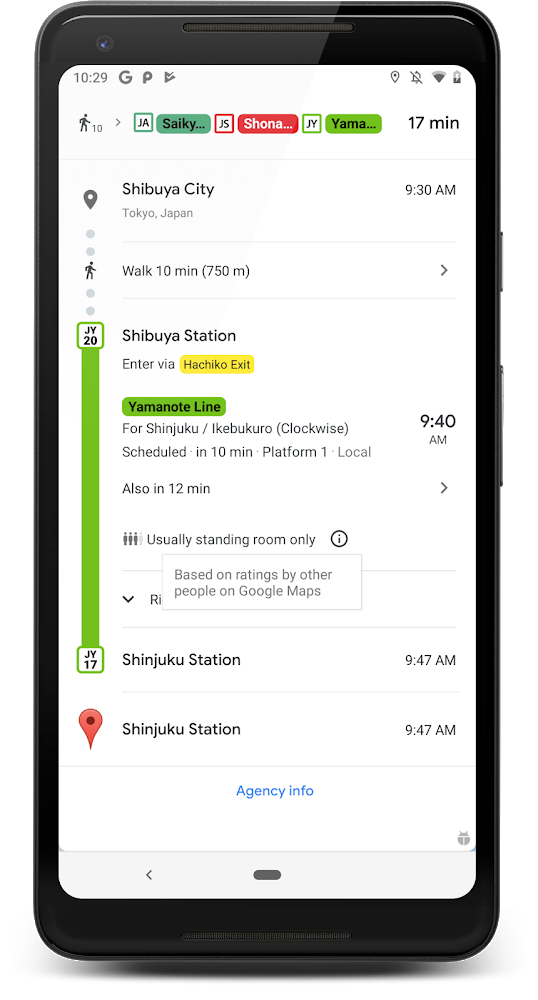
Secondly, Google Maps is also launching ‘crowdedness predictions.’ The app will now tell users how crowded an upcoming bus will be based on information from past rides.
“Now you can make an informed decision about whether or not you want to squeeze on, or wait a few more minutes for a vehicle where you’re more likely to snag a seat,” the company wrote in a blog post.
Google said users should start seeing the features on June 27th.
Source: Google
MobileSyrup may earn a commission from purchases made via our links, which helps fund the journalism we provide free on our website. These links do not influence our editorial content. Support us here.
