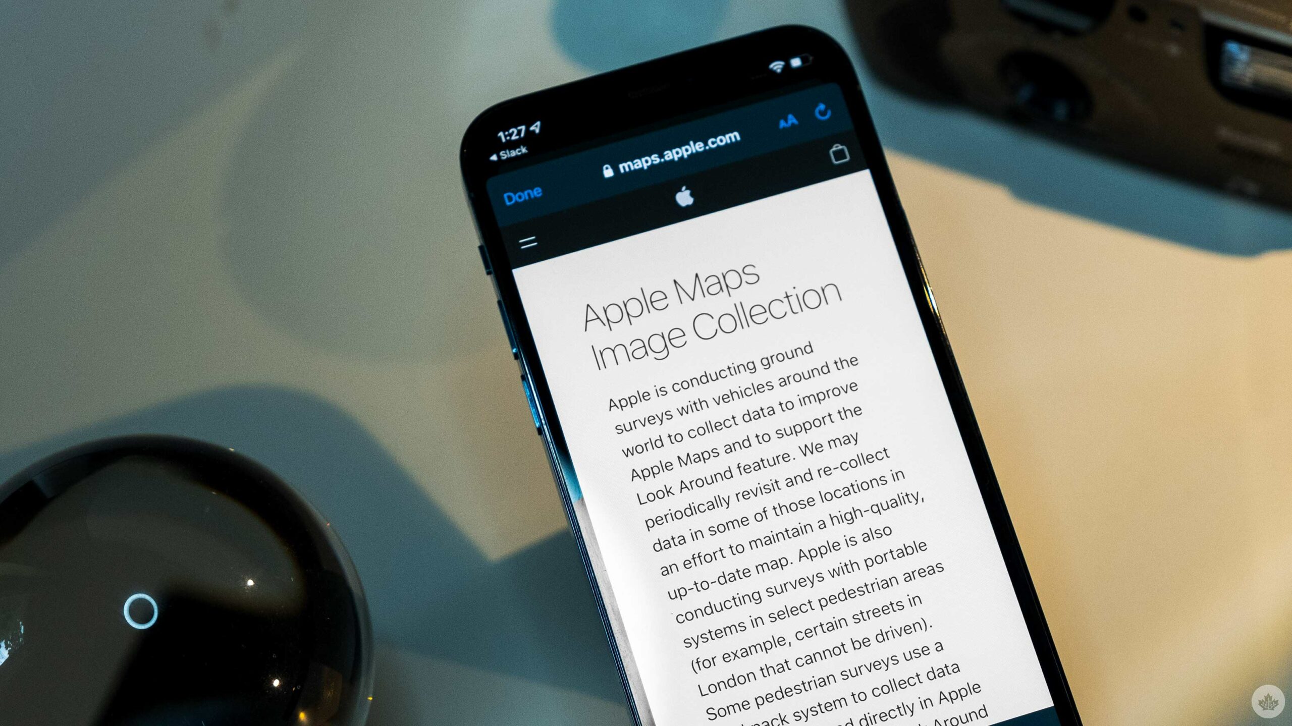
A recently promoted tweet from Apple caught my eye regarding the company’s digital mapping efforts in three major Canadian cities.
In an effort to boost the level of detail included in Apple Maps’ ‘Look Around’ feature to better compete with ‘Street View,’ Apple is sending teams of backpackers with what I assume are 360-degree camera rigs to Montreal, Toronto and Vancouver to map out locations where cars can’t go.
Apple Maps. Building the best digital map for Canada.
— Apple (@Apple) September 7, 2021
The company doesn’t specifically say what these places are, but If I had to guess, I’d assume they’re mapping parks, trails and other public spaces around those cities.
When you see an Apple Maps camera backpack while on vacation in Southern California naturally you run after it so you can be in the shots / ask questions pic.twitter.com/Vs2SzBGbr6
— Joanna Stern (@JoannaStern) April 7, 2021
If you click the link in the tweet, it takes you to an Apple website that clarifies that all the backpackers will be walking until the end of October. It also clarifies that Apple Maps has mapping cars roaming in all the Canadian provinces but not in the northern territories.
Source: Apple
MobileSyrup may earn a commission from purchases made via our links, which helps fund the journalism we provide free on our website. These links do not influence our editorial content. Support us here.


