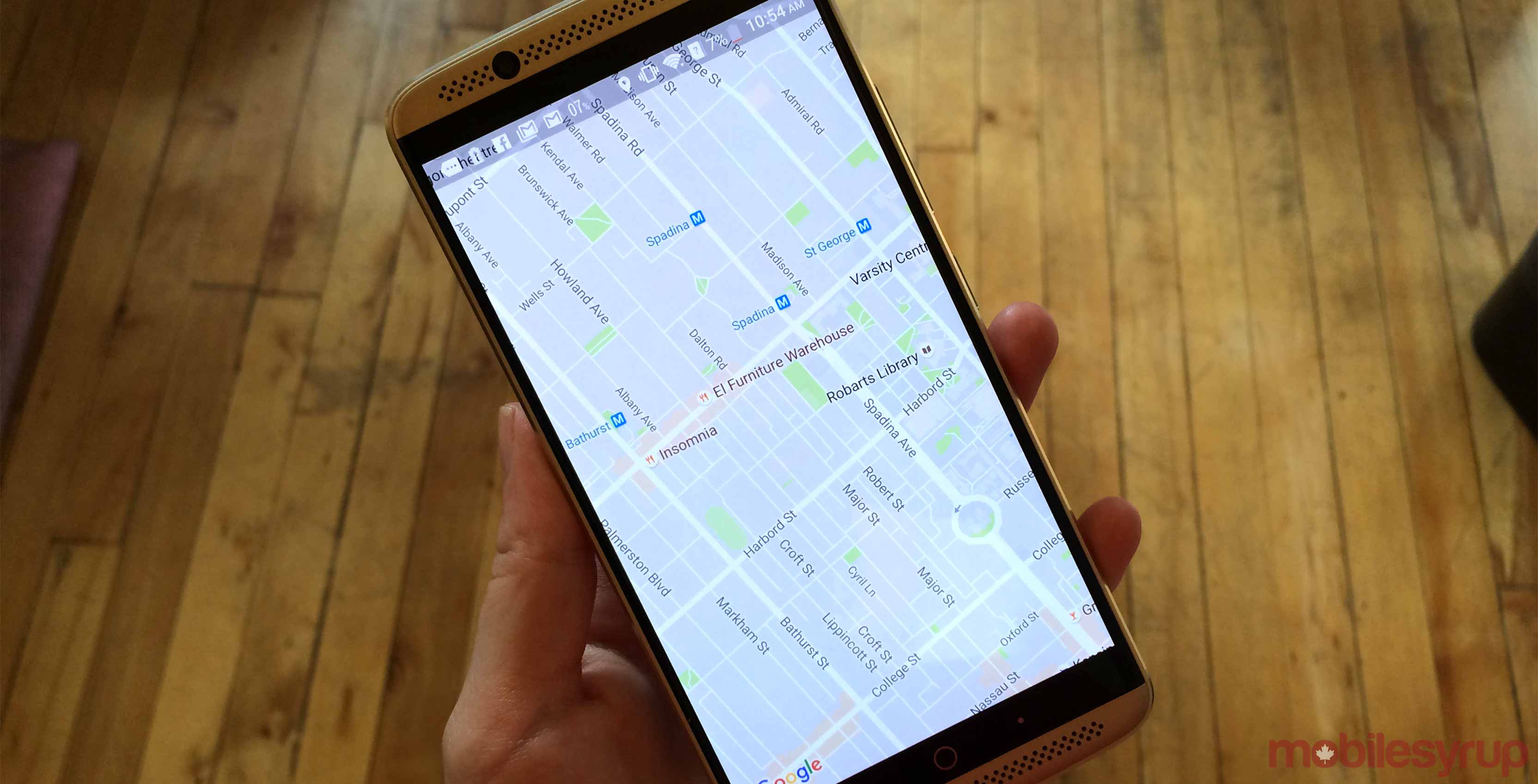
Google Maps is being redesigned to provide real-time information on traffic, public transportation and points of interest, among other things.
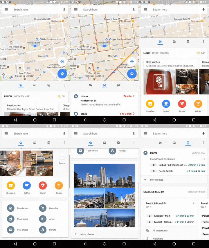
According to a post on its blog, Google’s app will now feature three dedicated tabs at the bottom of Maps to give more organized and detailed travel details.
Under the places tab, a selection of locations to eat and drink are now listed, notifying users of where to go for “cheap eats,” “business dining” and more. There are also set to be notifications related to points of interests like ATMs, pharmacies and gas stations.
Following this is the driving tab, which gives real-time ETAs to home and work addresses. Information on traffic conditions and expected upcoming delays is also now displayed.
Finally, the new transit tab recommends which method of public transit to take to a saved addresses. Users will be told when the next vehicles is set to arrive as well as ETAs to their destinations. If people are heading somewhere that isn’t already saved in their phones, a swipe down in this tab will help them get there by bringing up nearby transit stations with real-time schedules.
Google says the update will roll out later today on Android devices. It’s unclear if the new layout will also make its way to iOS.
Uber support was also recently added to Maps, allowing users to call for drivers without having to leave the app.
Source: Google Blog
MobileSyrup may earn a commission from purchases made via our links, which helps fund the journalism we provide free on our website. These links do not influence our editorial content. Support us here.


