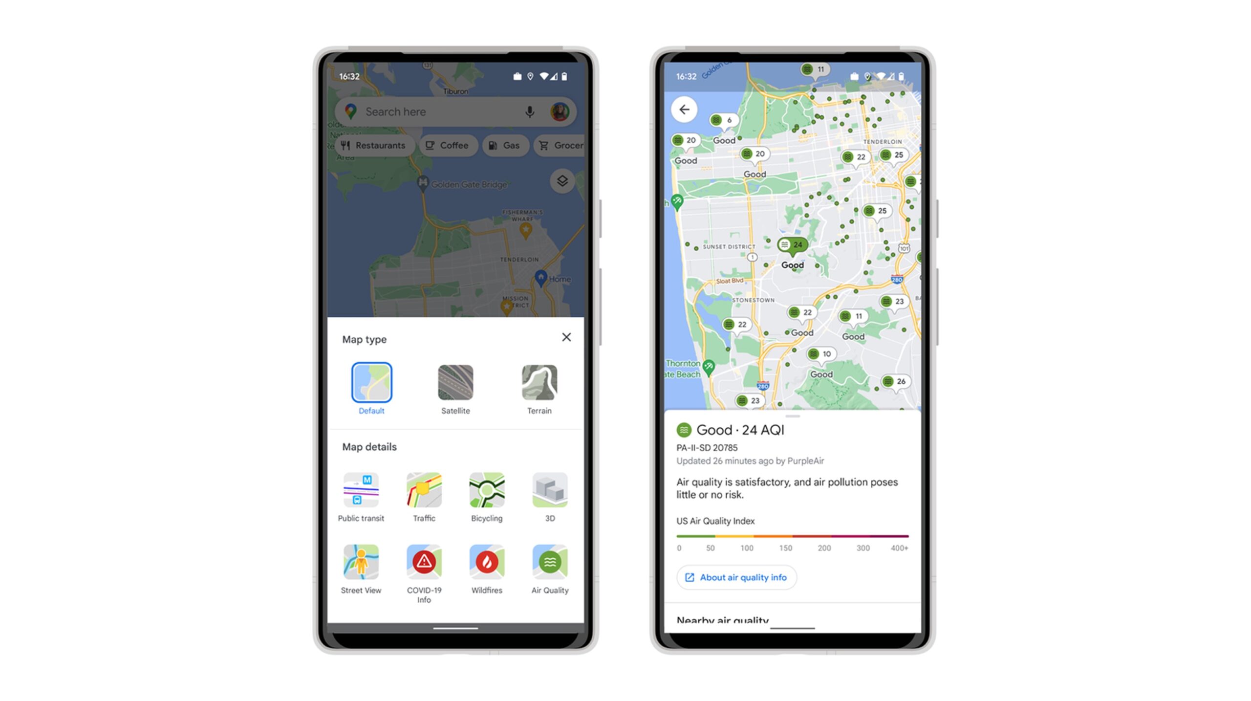
If you like to run, hike, or bike to get some fresh air, Google Maps’ new ‘Air Quality Index (AQI)’ layer might appeal to you.
Google Maps’ ‘Air Quality Index ‘ (AQI) overlay utilizes data collected from agencies such as the Environmental Protection Agency (EPA) in the U.S. to calculate air quality information. The feature is currently only available in the U.S., but it will likely make its way to Canada soon.
MobileSyrup has reached out to Google for more information.
As temperatures heat up and summer officially begins across the U.S., many of us are taking the opportunity to get outside. If you have an adventure on the horizon, here are two ways you can use our tools to stay safe and healthy this summer → https://t.co/qbVkou168r ☀️
— Google (@Google) June 8, 2022
PurpleAir will also offer a low-cost sensor network that detects conditions within hyper-local areas that appear on Google Maps. Air quality information from PurpleAir can be accessed on Nest smart displays and speakers.
Following the platform’s new ‘Air Quality Index’ feature, Google Maps also now offers a wildfire layer within the app to help users avoid areas that are at risk of or are experiencing wildfires. This feature was developed in partnership with the National Interagency Fire Center (NIFC).
In other Maps-related news, Google recently added an eco-friendly routing feature in Canada that aims to help drivers find the most sustainable route.
Google Maps is available for free on Android and iOS.
Image Credit: Google
Sources: Google
MobileSyrup may earn a commission from purchases made via our links, which helps fund the journalism we provide free on our website. These links do not influence our editorial content. Support us here.


