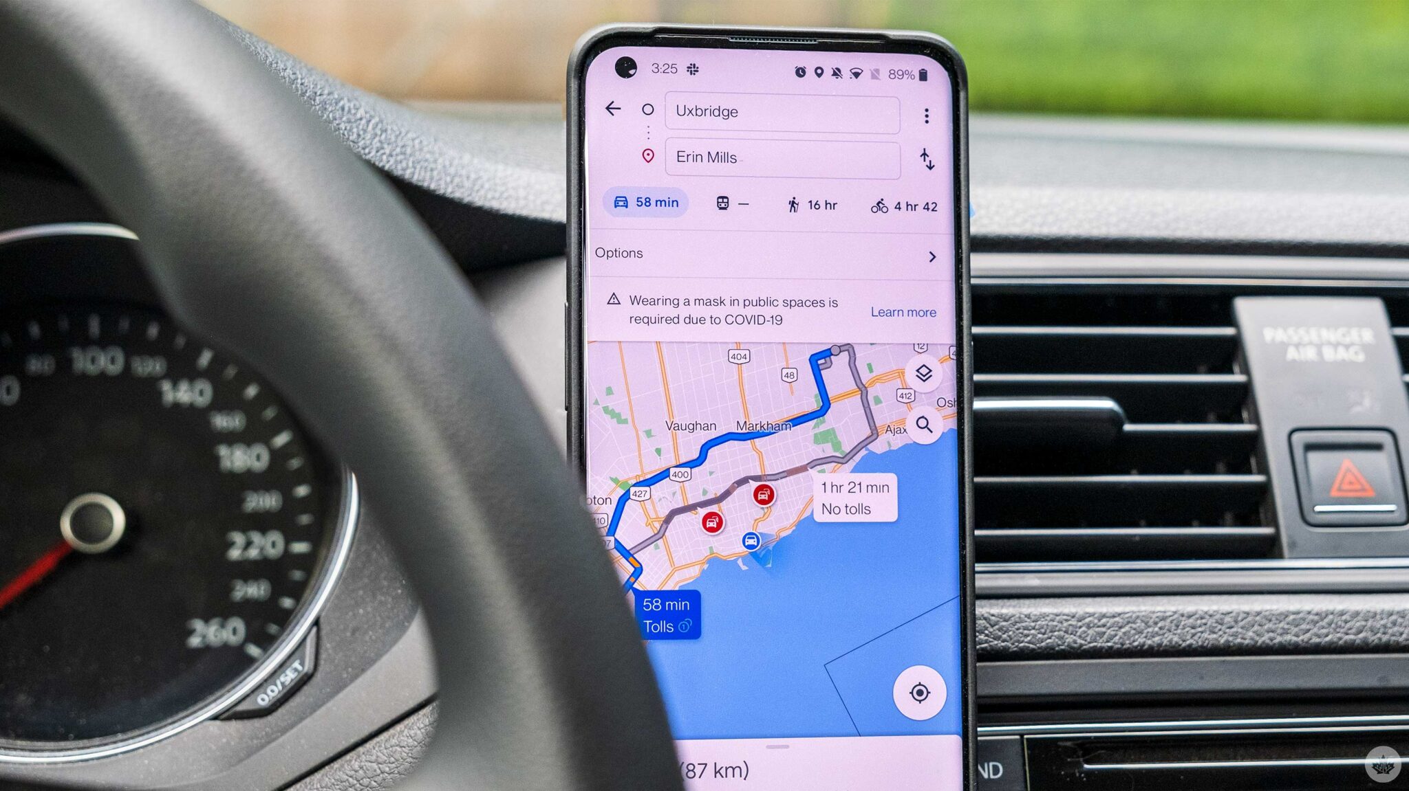
Google has continuously expanded the features it offers with Google Maps, from immersive views of major cities and the ability to go back in time through Street View, to estimated toll prices for planned routes.
Now, the Mountain View, California-based company is adding three new features to Google Maps that will make exploring, cycling, or coordinating plans and staying connected easier this summer.
To help users plan trips, Maps is introducing a new aerial view feature with roughly 100 of the world’s most famous landmarks. “This is the first step toward launching immersive view — an experience that pairs AI with billions of high definition Street View, satellite and aerial imagery,” says Google.
Being able to check out the aerial view allows you to also soak in the landmark’s surroundings, making it easy for you to decide whether you want to visit said location or not. For example, you may search for the CN Tower in Toronto and see that finding parking around the landmark is a pain so you decide not to go or take public transport.
Google Maps now offers detailed cycling route information, too, allowing you to compare two or more routes and prepare for your ride. “In addition to seeing the elevation along your route, you’ll also know if you’ll encounter heavy car traffic, stairs or steep hills,” says Google. You’ll be able to check whether you’ll be biking on a major road or a local street, for example, and decide whether you want to take the route or skip it.
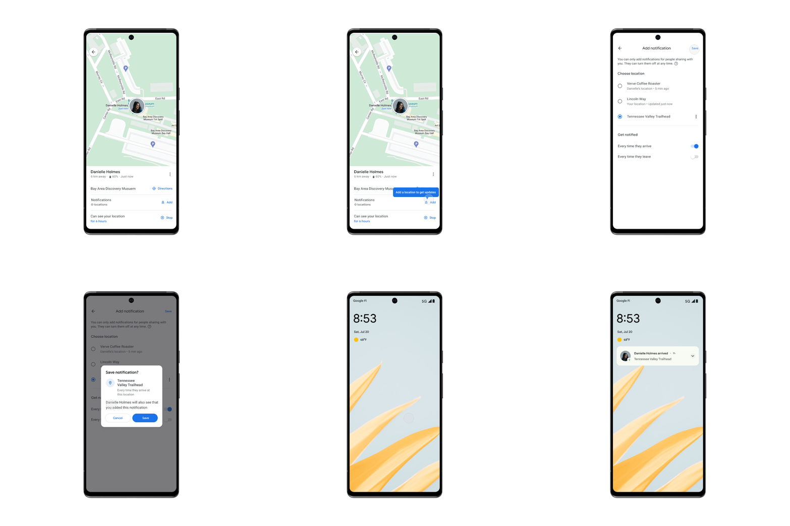
Lastly, the Google Maps app now shows when a friend or family member has arrived or left a mutually decided place. “Say you’re headed to a concert with a group of friends. If they’ve already chosen to share their location with you, you can set a notification for the concert venue’s address so you can see when they’ve arrived and meet up quickly,” says Google.
Similarly, you can also receive notifications about when your friends have left the venue. It’s worth noting that the feature can only be set for someone who has already chosen to share their location with you.
The new aerial view and location-sharing notification features are now rolling out globally on Google Maps for iOS and Android, whereas the cycling route information feature is “launching in the coming weeks.”
MobileSyrup may earn a commission from purchases made via our links, which helps fund the journalism we provide free on our website. These links do not influence our editorial content. Support us here.


