
Google has quietly been enjoying the success of its far-superior Maps application, both through its Motorola subsidiary and through its own brand. Earlier this week, Motorola released a contentious ad dubbed ‘iLost’ meant to show that Google Maps is better at parsing map data than the iOS 6 Maps app. While Motorola was accused of deceiving its customer base by inputting an address that didn’t actually exist, it was showing off Google’s superior algorithm in redirecting users to a nearby location.
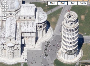
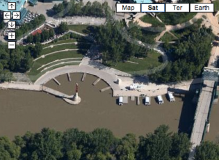
Today, Google has updated its high-resolution aerial and 45-degree imagery for places around the world. While all of Canada has been given a high-resolution polish, Winnipeg, MB in particular has been given the 45-degree treatment, allowing users of the Maps and Earth applications to see the city from an “over the shoulder” vantage point. While is similar to Apple’s “Flyover” feature, Google’s renderings are more detailed and decidedly more accurate, and exist in more locations at the moment.
The 45-degree imagery is now available in 51 cities, including Winnipeg, and high-resolution aerial maps have been updated for 17 cities and 112 countries/regions, including Canada.
You can check out all the details using Google Maps for Android, or by downloading Google Earth for Android tablets. You can also use Safari to browse Google Maps or Earth on iOS.
Source: Google
MobileSyrup may earn a commission from purchases made via our links, which helps fund the journalism we provide free on our website. These links do not influence our editorial content. Support us here.


