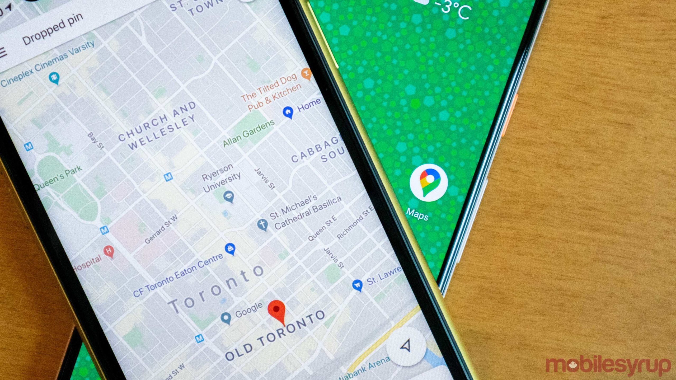
To help the influx of more people biking amid the ongoing COVID-19 pandemic, Google Maps is updating its bike guidance features to make it easier for people on two wheels to navigate.
The blog post doesn’t go into many specifics, but there is a new algorithm that should keep bikers off routes that include things like stairs, tunnels, busy streets and other hazards or annoyances.
Google also said that it’s going to start showing elevation changes in Maps so bikes can see how easy or tough their next ride is going to be. These features are planned to roll out in Montreal first according to Google and other Canadian cities should start seeing the improvements in the coming weeks.
Beyond adding new features on its own, Google is also asking cities and towns that are adding new bike lanes to update their maps via its Geo Data Upload tool.
Finally, if you’ve been using a bike-share system in Montreal and use BIXI or Lyft bikes, then you’ll now see live bike availability within Maps. To help incorporate these bikes into your travel, Maps will even provide users with directions so they can walk to the bike share, pick up and bike and then drop it off at another docking station.
Google says it’s hoping to bring this feature to more cities in the coming months, but that likely depends on what kind of data it can get, or the partner cities can give.
These changes are helpful, and if more cities start uploading their bike lane expansions into Google Maps, it should make the platform more useful for bikers. Lately, this has become a much more competitive space for Google in North America since Apple recently launched its own bike route planning in the U.S. version of Apple Maps.
Update 20/07/2020: This article has been updated with Canadian specific information from Google.
Source: Google
MobileSyrup may earn a commission from purchases made via our links, which helps fund the journalism we provide free on our website. These links do not influence our editorial content. Support us here.
