Canada is the second largest country in the world and can take up to several days to travel across. Because of its considerable size, many Canadians will never have the opportunity to check out all of our expansive country.
With the help of Google Street View, Canadians, as well as anyone interested around the world, can now get glimpse of the most northern reaches of the country.
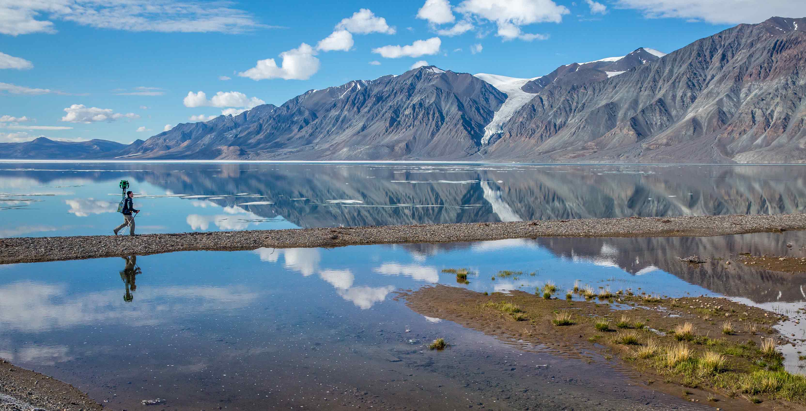
Google Street View has mapped out Quttinirpaaq National Park. With the coordinates 81.4672° N, 72.1091° W. Quittinirpaaq (pronounced ‘koo-tin-ir-pa-ak) which is Inuktitut for ‘top of the world,’ is the most northern point of Canada and is located at the tip of Ellesmere Island in Nunvaut. Quittinirpaaq National Park is also the third largest park in the country and is the furthest north anyone can use Google Street View.
Due to its location, Quttinirpaaq only sees about 50 guests a year.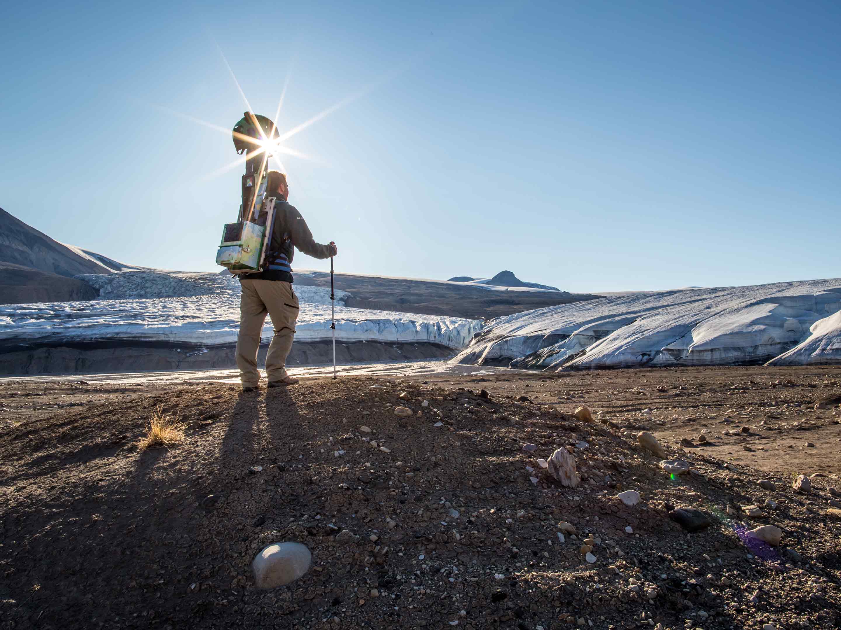
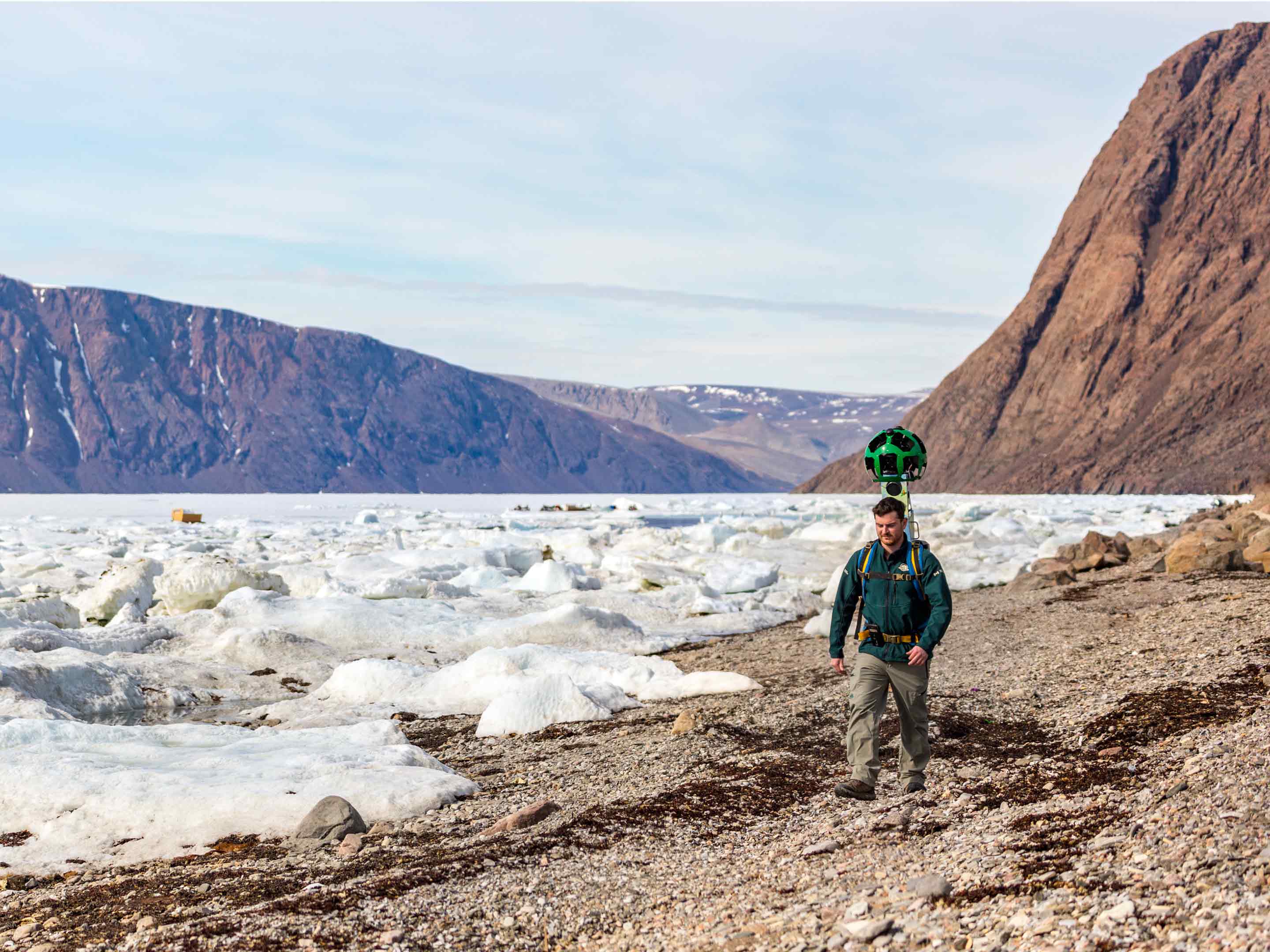
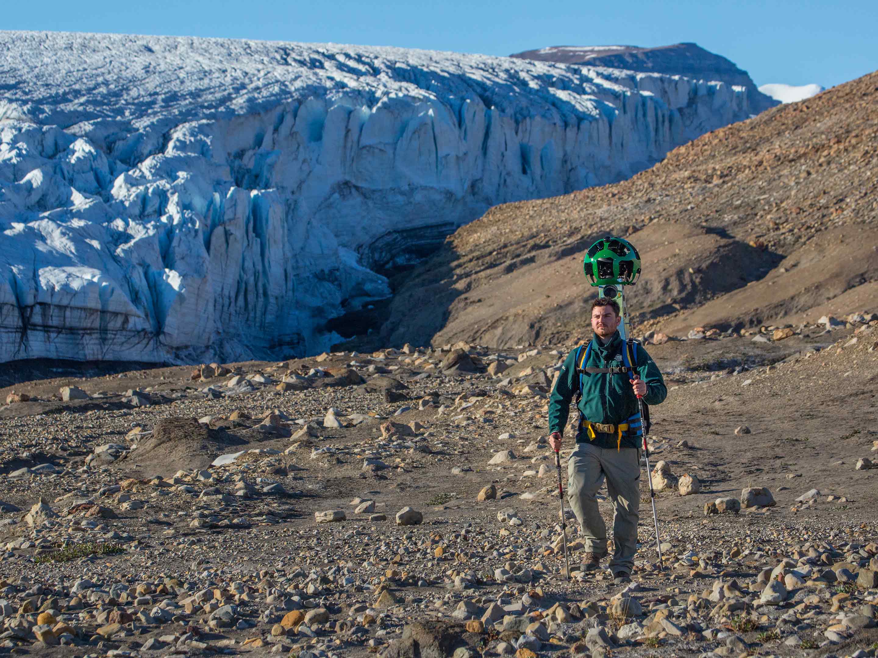
With the help of Parks Canada, Google was able to map out the vast mountainous region of Quittinirpaaq. While in some areas, Google uses a vehicle to drive around with a 360-degree camera to get Street View, due to the lack of roads, Parks Canada staff hiked the park with what Google calls a ‘Trekker bagpack,’ which carries a 40 lbs 360-degree camera. The images taken are then sown together by Google’s Street View staff so that they can be used for online.
The trekkers took about five days during the month of July in 2016 to capture enough images for Google Street View. Because of Quttinirpaaq’s location, visitors can only travel to the park from the end of May to late August — though polar explorers use it as their starting point for their trek to the North Pole. The rest of the year Quttinirpaaq is in darkness and gets very cold.
Also due to Quittinirpaaq’s positioning, the park lacks vegetation but features a wide range of mountains, some that appear round at their peaks, while others are rugged. The mountains can rise up to more than 6000 feet in altitude above sea level, and can be various colours because of the variety of minerals present in the region.
There are also glaciers, like the Gull Glacier, and a diversification of animals, such as arctic hares, arctic foxes, arctic wolves and muskoxen, according to Emma Upton, Quttinirpaaq National Park manager. At the eastern shore of the park, visitors have also reported seeing narwhals, though Quttinirpaaq National Park isn’t typically known for whale watching.
Quttinirpaaq National Park is also home to archaeological sites that can be viewed with Google Street View. At the archaeological sites — which date back to 5,000 year ago — archaeologists have found rocks used to weigh down circular tent structures, which belong to nomadic Paleo-Eskimos, as well as mounds of rocks four to five feet tall used to hold down ancient food caches. The rocks were to keep the food cold and to keep other animals out.
Quttinirpaaq is also the closest anyone get to the North Pole by flight — planes will fly over but not land at the Pole. From the most northern tip of the Quttinirpaaq National Park, called Ward Hunt Island, the North Pole is only 800 km away. The distance is near enough that many have skied, dog sled and snowmobiled to the North Pole. Upton also recalls a time when a visitor attempted to travel to the North Pole via horse but, failed miserably.
“Google Street View is constantly trying to expand to reflect Canada in a digital area,” according to Google representative, Alexandra Klein. While Google Street View isn’t available at all of the National Parks in Canada, Klein says that a large portion of the maps have been collected, “we are really proud of what we have been able to do so far.”
While wild life at the Quttinirpaaq National Park hasn’t been viewed with Google Street View, Street View did catch a glimpse of Polar Bears in Churchill Manitoba.
Image Credit: Ryan Bray
MobileSyrup may earn a commission from purchases made via our links, which helps fund the journalism we provide free on our website. These links do not influence our editorial content. Support us here.
