Google is now working on a Google Maps feature that will let users avoid the sun on their route, if they choose.
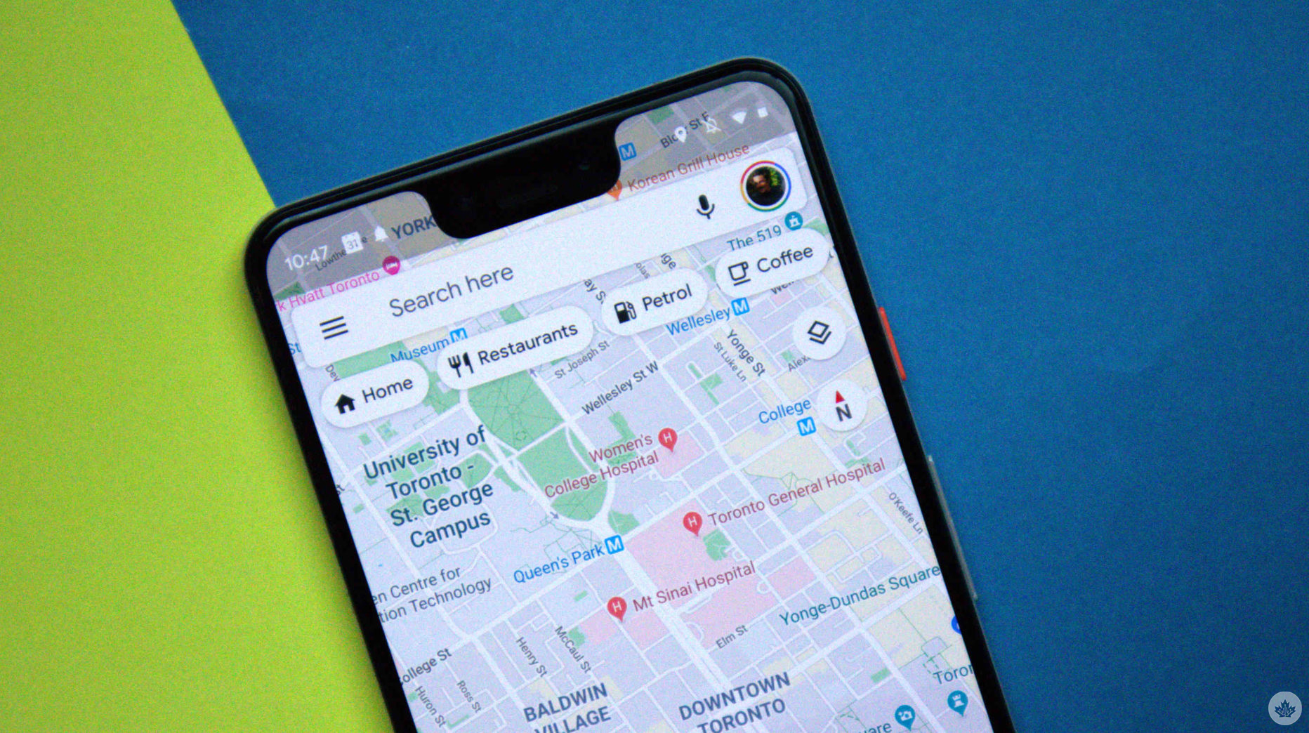
In an APK teardown of Google Maps by Android Authority, it was discovered that a ‘prefer shade’ toggle is currently under development, with strings in the build outlining what it is supposed to do.
Based on the code, it appears that Google is also letting users navigate to areas that offer sunlight, which most likely means the software is not just designed to direct people to shadier areas and could help users pick paths with a lot of sun to keep warm. For example, one of the strings mentions the number of minutes spent in sunlight.
As Android Police mentioned, there will be a ‘Prefer Shade’ toggle that will be located within the ‘Trip Options’ menu, and accessible within the navigation interface. When it is live, it will sit below the existing toggles for wheelchair-accessible paths or to avoid ferries.
Although it isn’t yet known how Google will power this feature, Android Authority speculates that LiDAR scanning could be used to track cloud patterns. Given the amount of satellite data Google receives to power Google Maps, it could also be used to track cloud patterns.
In addition to this new feature, Google also announced upgrades to Maps, including improved Gemini integration that lets it understand complex commands, such as setting up reminders for future events using Google Calendar within Google Maps.
Android Police also notes that Google Maps is working on a power-saving mode that will conserve battery by effectively eliminating colour in Maps. Google has recently implemented similar power-saving upgrades, tweaking the always-on display to determine when to turn it off using the proximity sensor.
Source: Android Authority, Android Police
MobileSyrup may earn a commission from purchases made via our links, which helps fund the journalism we provide free on our website. These links do not influence our editorial content. Support us here.
