A San Francisco-based startup called Aclima is partnering with Google to add its connected air quality sensors to the fleet of Street View vehicles.
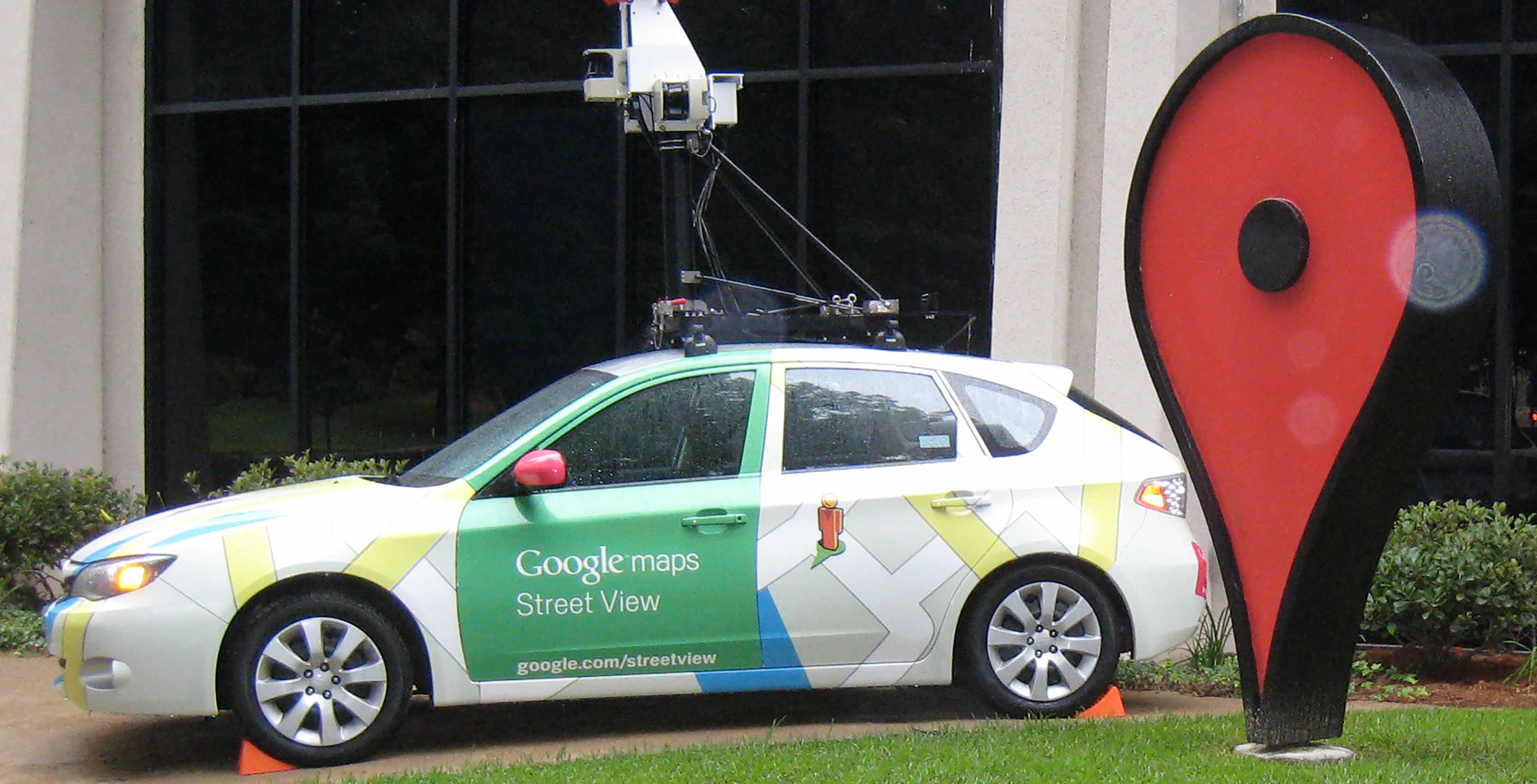
Google has been roaming the earth using cars to take images for its Street View portion of Google Maps for years, and now it looks like the cars are getting a bit more functionality.
The company is outfitting 50 cars in Houston, Mexico City and Sydney with Aclima’s air quality sensors. The sensors capture data levels for carbon dioxide (CO2), carbon monoxide (CO), nitric oxide (NO), nitrogen dioxide (NO2), ozone (03) and particulate matter (PM2.5).
The goal is to discover where there may be breathing issues or low air quality on the street level.
All of the data is going to be publicly available on Google BigQuery, the company’s large-scale data analytics platform.
Aclime has been working with Google for a few years now. The company outfitted a few of its sensors on some Street View cars in London, and it has been tracking air quality on Google’s campus in the Bay Area.
This early work led to a breakthrough that shows air pollution levels change five to eight times along a city street. Now the company is expanding on that theory with a much wider rollout of the sensors to gather more data.
In an interview with TechCrunch, the founder of Aclima Davida Herzl said that “we found you can have the best air quality and the worst air quality all on the same street…Understanding that can help with everything from urban planning to understanding your personal exposure.”
Source: TechCrunch
MobileSyrup may earn a commission from purchases made via our links, which helps fund the journalism we provide free on our website. These links do not influence our editorial content. Support us here.
