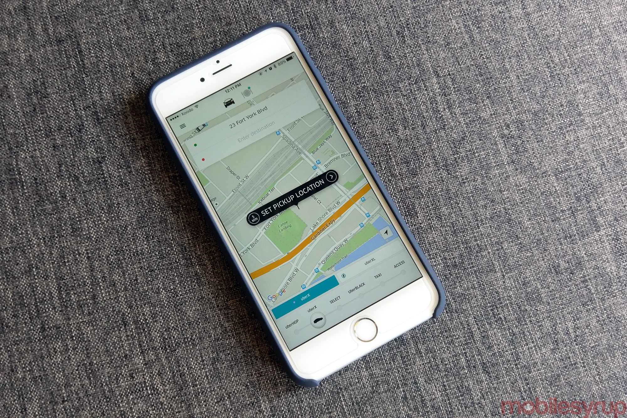
Uber today announced a new partnership with DigitalGlobe, one of the world’s leading satellite imaging companies.
In a sparse press release posted on its website, DigitalGlobe says Uber will use its satellites and image data “to help identify and improve pickup and drop-off locations.” The announcement doesn’t go on to provide a wealth of details on the partnership. For instance, Uber’s efforts to build an autonomous vehicle aren’t mentioned in the release. Presumably, however, there are far more significant reasons Uber entered into a partnership with DigitalGlobe than to just make it easier for its drivers and passengers to connect.
Indeed, over the last number of years the San Francisco-based company has spent significant resources to create its own maps. In early 2015, Uber bought deCarte, another mapping and navigation firm. More recently, the company was rumoured to be one of the lead suitors for Nokia’s Here mapping division before it was eventually bought by an alliance of German automakers made up of Audi, BMW and Daimler. Uber has even started deploying its own Street View-like cars in American cities.
[source]DigitalGlobe[/source][via]Gizmodo, Engadget[/via]
MobileSyrup may earn a commission from purchases made via our links, which helps fund the journalism we provide free on our website. These links do not influence our editorial content. Support us here.
