Google Maps has always been good about giving directions for cars and pedestrians, but in the last year its transit features have been improved substantially.
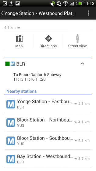
In the latest update, version 6.1, Google Maps for Android brings some fantastic transit improvements, including detailed delineation of type (bus, streetcar, subway), distance to the closest subway station, when a train leaves from that station and in what direction. You can hide all but one type of transit, too, if you’re in a central area and don’t want to cross-pollenate.
Three other new features include:
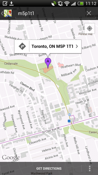
– Now, whenever you search for a city or postal code, the borders of that region are highlighted.
– Under My Places you’ll notice we’ve added new tabs, which will help you access all your information from a single place; from your saved maps for use offline to your starred places and Custom Maps created on your desktop.
– If you enable Location History, you’ll be able to browse the places you’ve been on a daily basis with an updated Location History dashboard.
Download Google Maps for Android.
Source: Google Lat Long Blog
Via:Engadget
MobileSyrup may earn a commission from purchases made via our links, which helps fund the journalism we provide free on our website. These links do not influence our editorial content. Support us here.
