Apple has confirmed that its Maps team is collecting pedestrian data across California in an effort to improve the accuracy of its beleaguered iOS Maps app.
The tech giant states that the street-level pedestrian information will specifically be used to improve walking directions in the Apple Maps app, as the company works to rebuild the platform “from the ground up” using its own data.
“We wanted to take this to the next level,” said Apple Maps chief Eddy Cue, in an interview with TechCrunch from back in June.
“We have been working on trying to create what we hope is going to be the best map app in the world, taking it to the next step. That is building all of our own map data from the ground up.”
Hello Apple Maps guy. pic.twitter.com/CoBt8iT346
— Dante Cesa (@dantecesa) October 12, 2018
The specific areas of California Apple is mapping include Alameda, Los Angeles, San Francisco, San Mateo, Santa Cruz, Santa Clara, San Jose and of course, the location of the company’s head office, Cupertino.
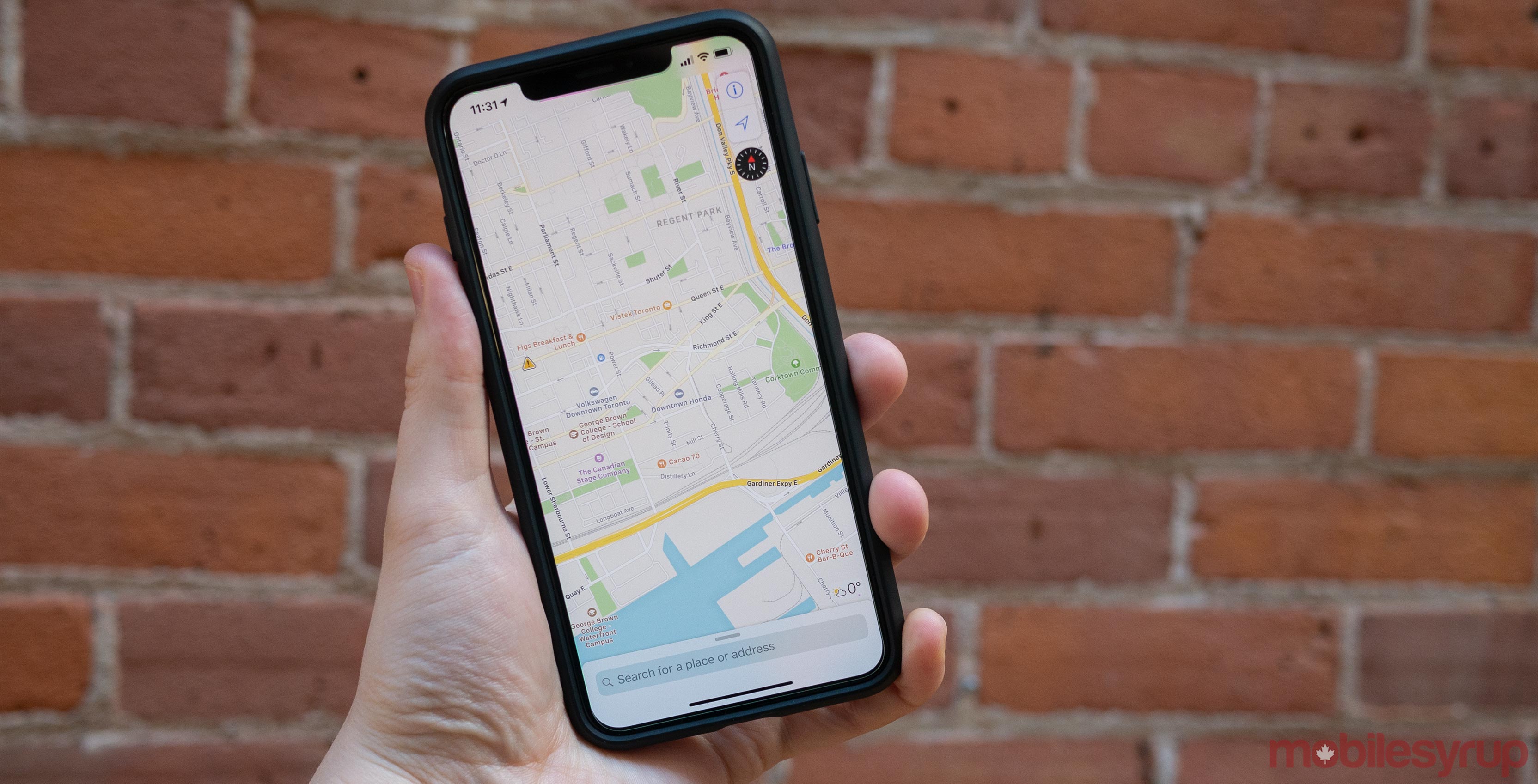
Apple says that Apple Maps will soon start featuring pedestrian pathways that were previously unmapped, as well as display objects like grass, trees, buildings, parking lots and sports fields more accurately. Some of these specific improvements are already available in the Maps app following the release of iOS 12.
It’s unclear when these improvements will make their way to the Canadian version of Apple Maps, with the features launching first in the following countries: Croatia, France, Ireland, Italy, Japan, Portugal, Slovenia, Spain, Sweden, and the United Kingdom, according to Apple.
Via: TechCrunch
MobileSyrup may earn a commission from purchases made via our links, which helps fund the journalism we provide free on our website. These links do not influence our editorial content. Support us here.
