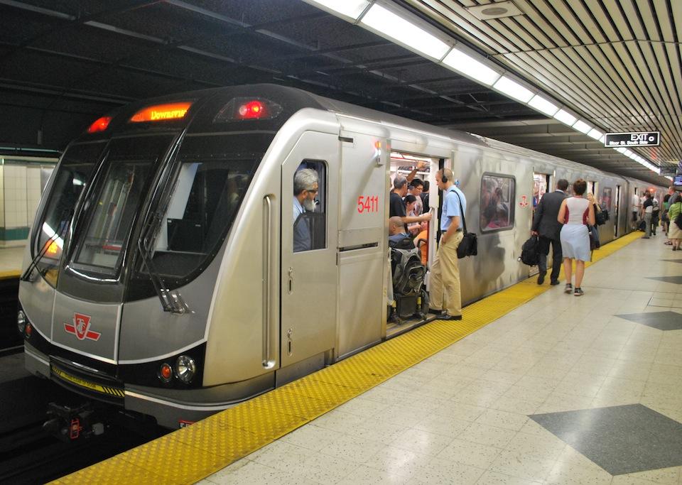
Google Map’s real-time transit info feature has just launched for the Toronto Transit Commission (TTC) on both Android and iOS, giving Torontonians more accurate and timely information about public transit.
With the update, Google Maps can now instruct users on what the best route is according to transit conditions and inform them when their subway, bus or streetcar will arrive (not just when it’s supposed to arrive). Maps will also continually update estimated arrival times throughout a trip and alert users to service disruptions, detours and stops that are under construction.
This update is a welcome addition to Maps, especially for daily commuters in Canada’s largest city. Google notes in its press release that transit is one of the most googled issues in the city, and says that the top question on the subject for the last six months is: “How to plan a TTC trip?” while other popular searches are, “When is the next TTC bus?” and “Where is my streetcar?”
Google doesn’t mention whether those phrases were scrubbed of expletives.
Related reading: Inside the TTC’s underground wireless network that delivers your GIFs on time